Flatbed Valley
The scenic Flatbed Creek valley, located in close proximity to Tumbler Ridge, presents an array of hiking options and an opportunity to witness the renowned dinosaur tracks. These trails are a segment of the TR Trail, stretching 28 kilometers and enveloping a significant portion of the Tumbler Ridge community, and are appropriately marked with signage.
Distance | Time:
Flatbed Falls: 2 km return | 1-2 hours
Flatbed Pools: 4 km return | 2-3 hours
Trail Rating:
Moderate
Features:
Small falls, swimming.
Three pools, dinosaur prints.
-

Trails
Flatbed Falls: The trailhead is on the right side of the parking lot. Explore the forest and discover a 4-meter-high waterfall on Flatbed Creek. The rock shelf surrounding the falls is a popular picnic area, and the pool below offers an exciting swimming experience for the brave. Before reaching the falls, you'll find a log picnic shelter and outhouses for your convenience.
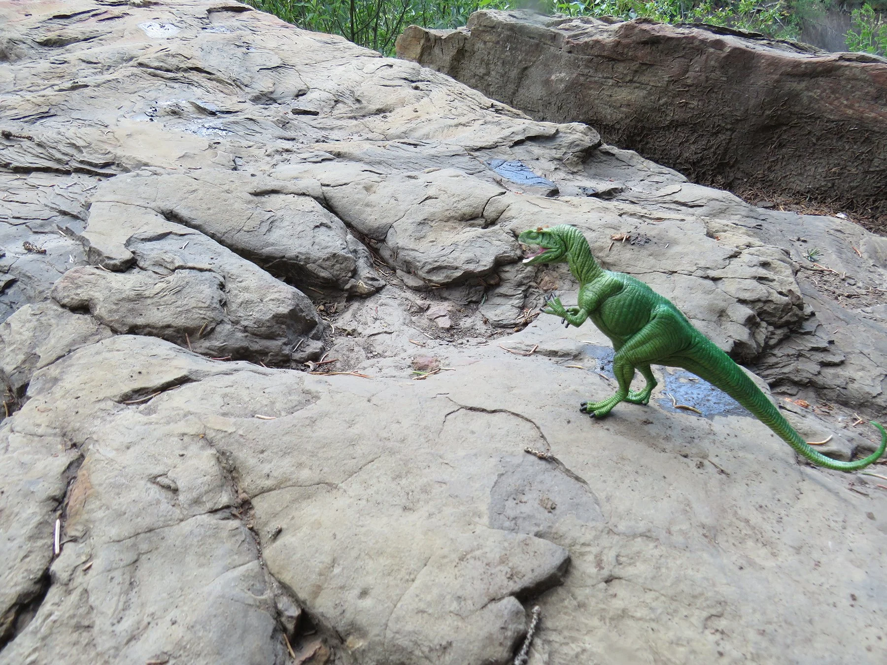
Flatbed Pools: The trailhead is on the left side of the parking lot, beside the Ministry of Transportation commemorative sign that celebrates the trackway discovery. After 1 km, a fork is reached. The right hand fork leads to the Flatbed Cabin Pool and two dinosaur track sites. It descends to the creek level, where the rock slab with tracks is found.
-

Dinosaurs
In 2000, two local boys found what they thought was a dinosaur trackway while walking back upstream on bedrock after falling off their inner tube in Flatbed Creek. Palaeontologist Richard McCrea confirmed their find, which was the longest accessible trackway in BC, and taught members of the Tumbler Ridge Museum Foundation (TRMF) to search for further tracks. The area now boasts numerous footprints found in canyons, rock cuts, quarries, coal mines, and the alpine, some of which are from the Turonian age, where no footprints have been found before. The Tumbler Ridge area is home to the majority of the world's known tyrannosaurid tracks, including the only parallel tyrannoaurid trackways.
-

Guided Tours
Dinosaur Tours & Camps: Tumbler Ridge is one of the special places in the world where you can see actual dinosaur footprints preserved in their natural environment. To stand here and imagine dinosaurs living their lives across this very same ground—but millions of years ago—is awe-inspiring. An interpretive tour with an experienced guide is the best way to get the most out of your visit.
Cabin Pool - This informative two-hour tour begins with a hike to Flatbed Creek where you’ll see dozens of footprints. The original 2000 ankylosaur trackway discovery is nearby, downstream and across the creek.
Contact the Tumbler Ridge Museum for tour information.
-

Birding
The forest is a good place to stop and listen for the bird songs in the mixed forest of White Spruce, Trembling Aspen and Lodgepole Pine. The most common birds to be heard here are Yellow-bellied Sapsucker, Northern Flicker, Western Wood-Pewee, Warbling Vireo, Black-capped Chickadee, Red-breasted Nuthatch, Golden-crowned and Ruby-crowned Kinglets, Swainson’s Thrush, American Robin, Orange-crowned and Yellow-rumped Warblers, and Dark-eyed Junco.
-

Trip Link
The Linking Trail heads downstream from the Flatbed Falls trail, following the edge of the escarpment along the creek. Good views of the creek valley can be found along the way. A side trail leads down to the Mini Falls, a small waterfall with a deep pool below its serrated lip. Near the end, the trail descends steeply at a staircase before passing under the highway bridge and ending at the Lions campground.
-

Caution
When walking on the rock, please take care not to walk directly on the prints.
Do not dive into pools. Avoid swimming and river crossings at high water.
If you discover what you think may be a dinosaur footprint or bone, please do not remove it. Instead, please report your find to the Tumbler Ridge Museum at (250) 242-DINO, or email gallery@trmf.ca.
DIRECTIONS TO TRAILHEADs
The main starting point for the Flatbed trails is the Flatbed Falls parking area. From town, take Mackenzie Way and turn left onto Hwy 29. Drive 400 m along the highway, and the parking lot is on the right. Another starting point is at the Lions campground. For this trailhead, take Hwy 29 from town towards Chetwynd, and turn right at the bottom of the hill.
thank you to our partners
experience tumbler ridge unfiltered. tag #tumblerridge to show us your adventures.


