kinuseo falls
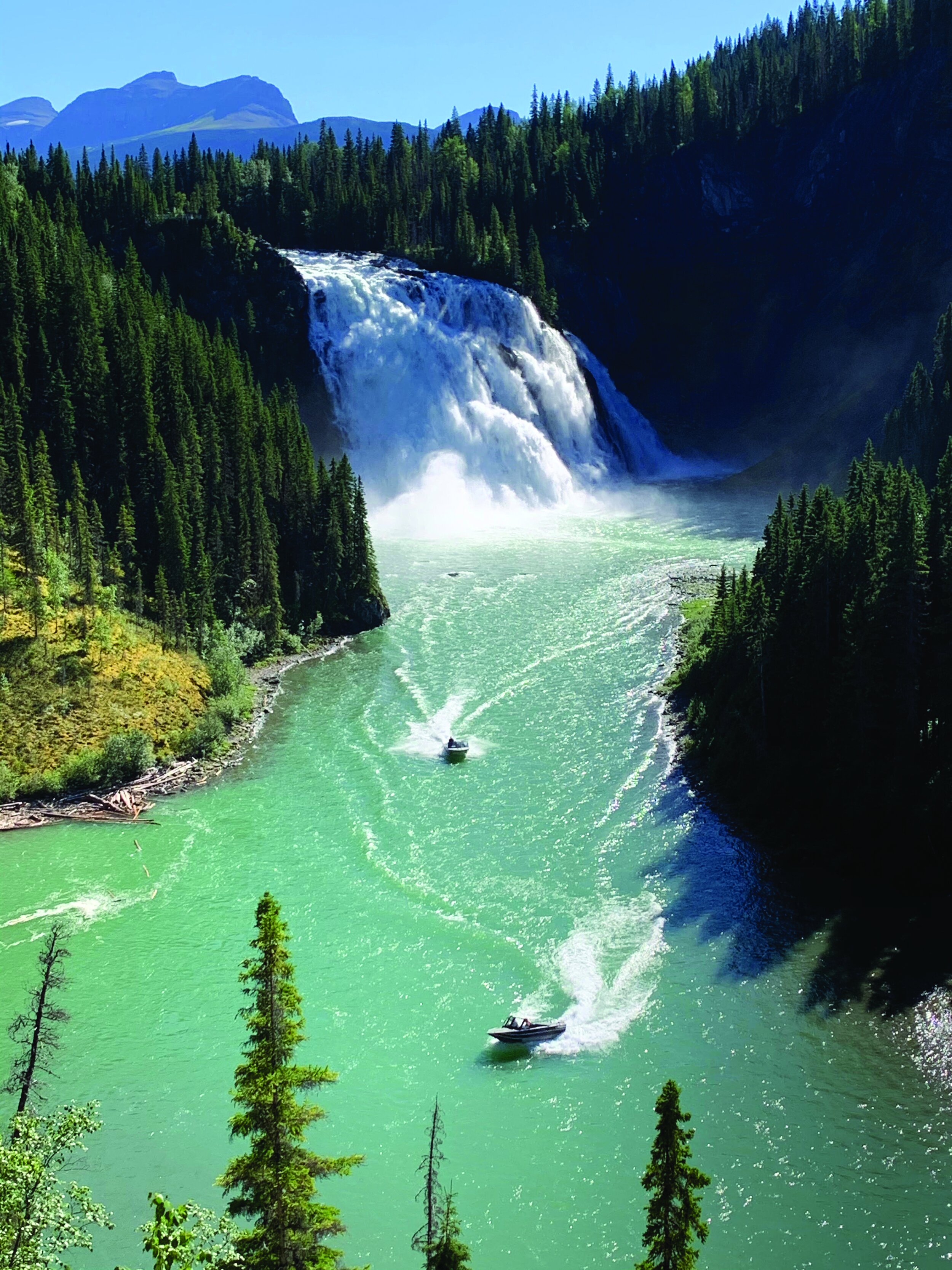
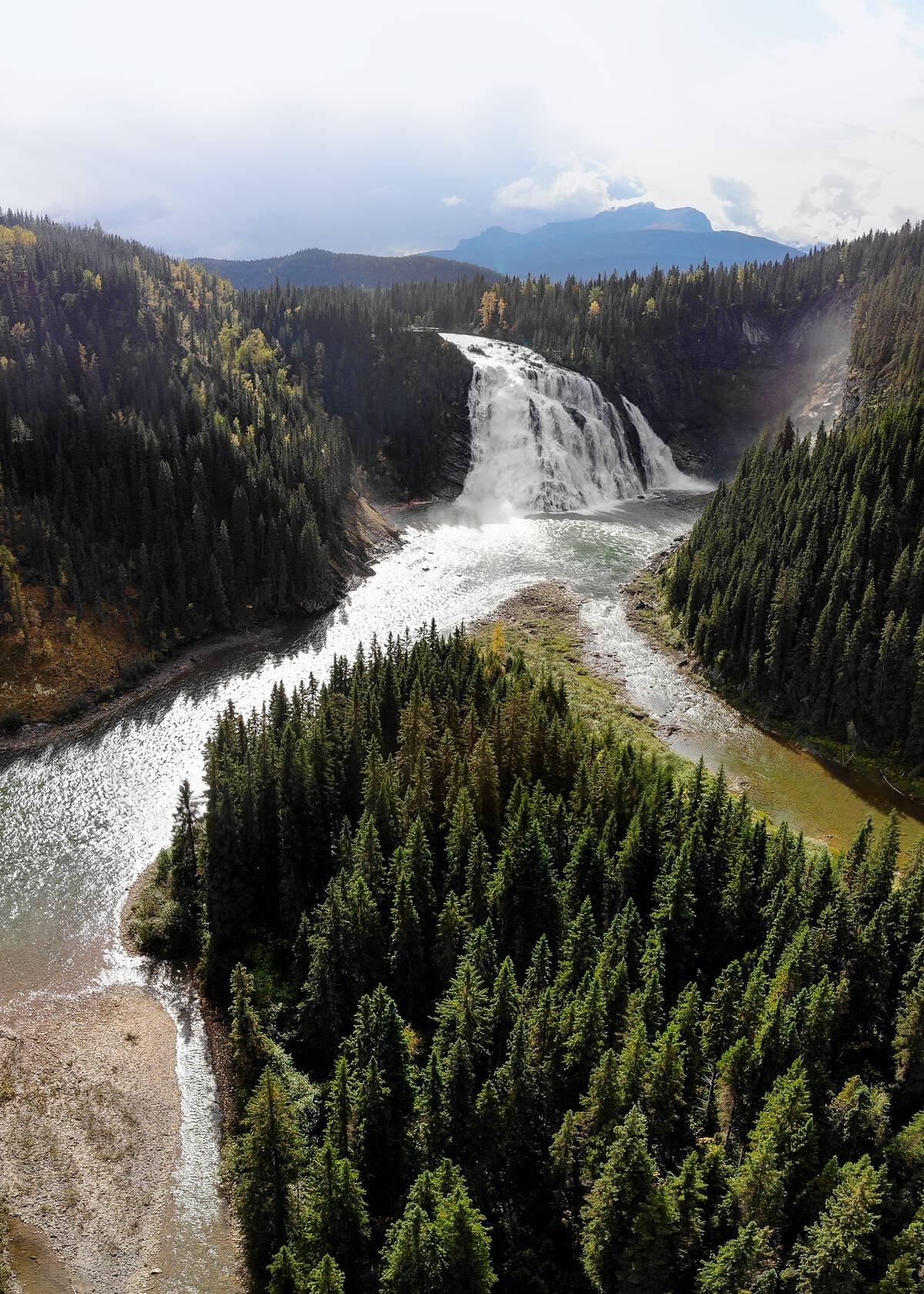
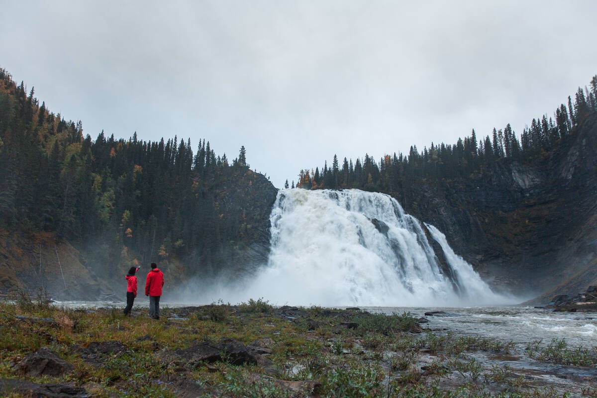
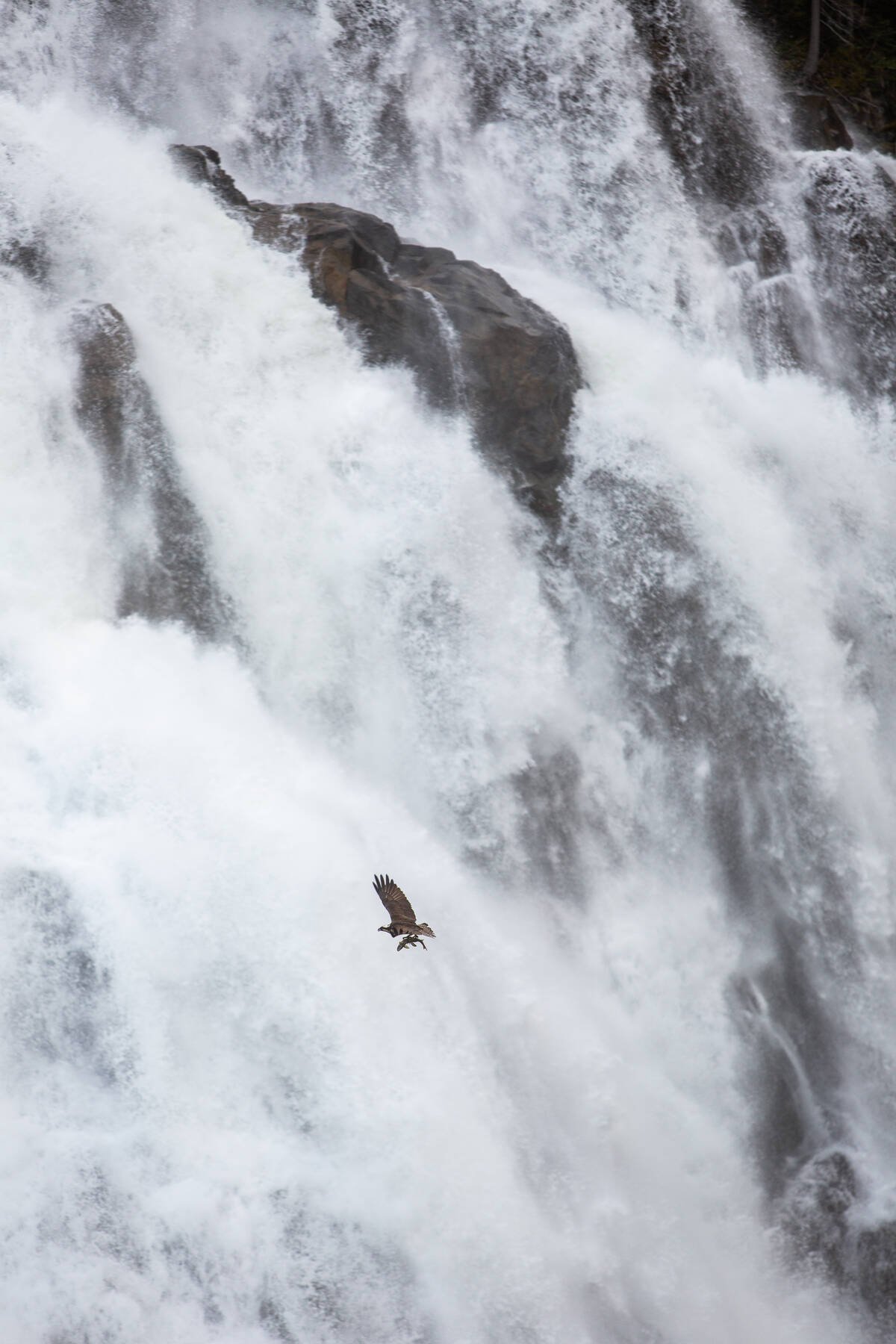
Kinuseo Falls, located in Monkman Provincial Park, is truly a gem of the Tumbler Ridge UNESCO Global Geopark and an iconic destination of Northern BC. This spectacular waterfall cascades 70 meters, making it even taller than Niagara Falls, and during its peak season, it pours over 40m3 of water per second into the valley below.
Distance | Time:
0.5 to 4 km return | 1-3 hours
Trail Rating:
Viewing Platform & Upper Viewpoint - Easy
Other Viewpoints - Moderate
Features:
Breathtaking waterfall.
Caution:
High cliffs in area.
-

Trails
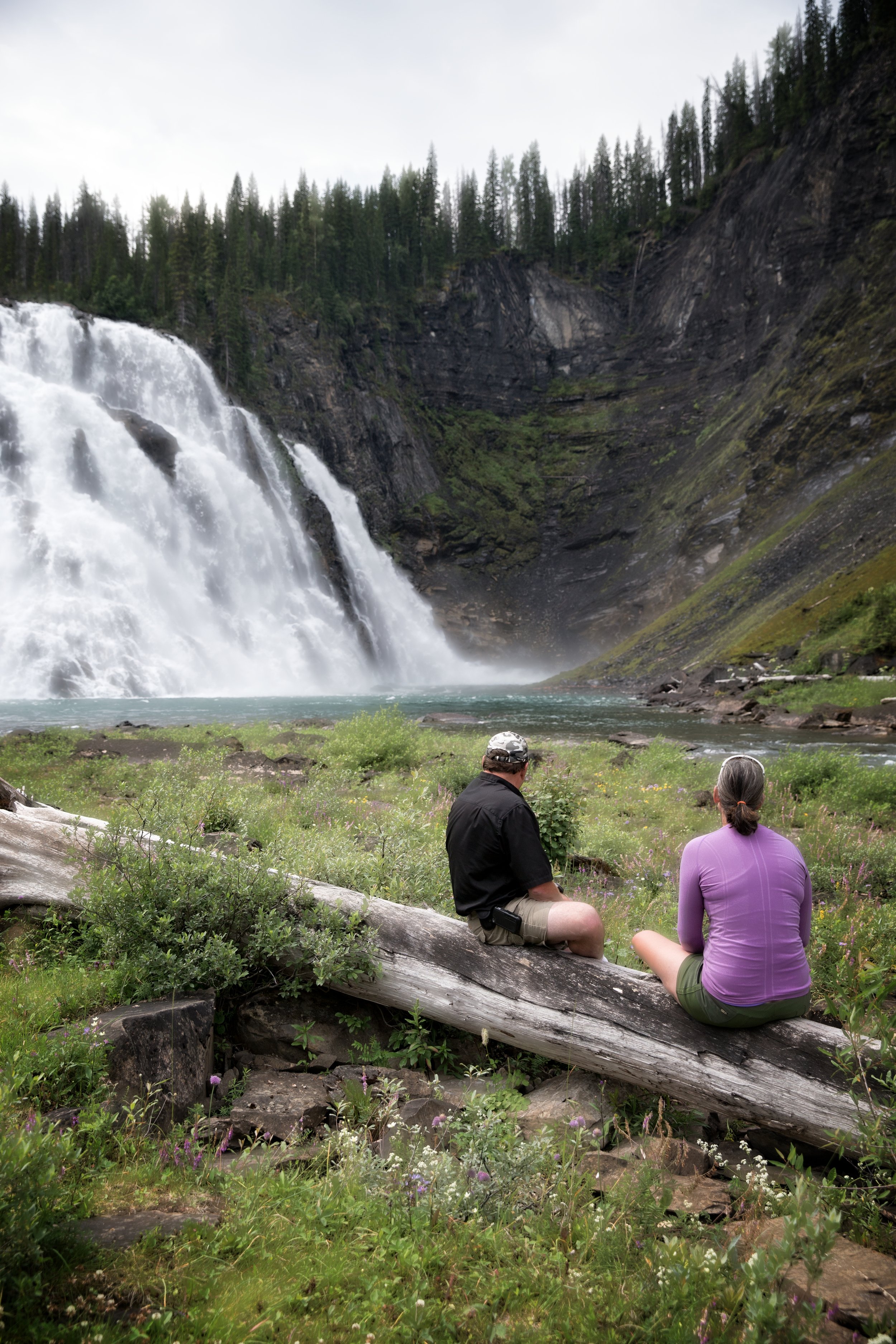
The main trail leading to the Lower Viewpoint platform offers a stunning view of the falls and is accessible for those with disabilities. The trail leading to the Upper Viewpoint, while longer and steeper, provides a unique perspective of the falls. Just before the final descent, there is a great view of the falls that can be further enhanced by taking a right turn onto a spur trail that leads to the top of a series of bluffs.
-

Guided Tours
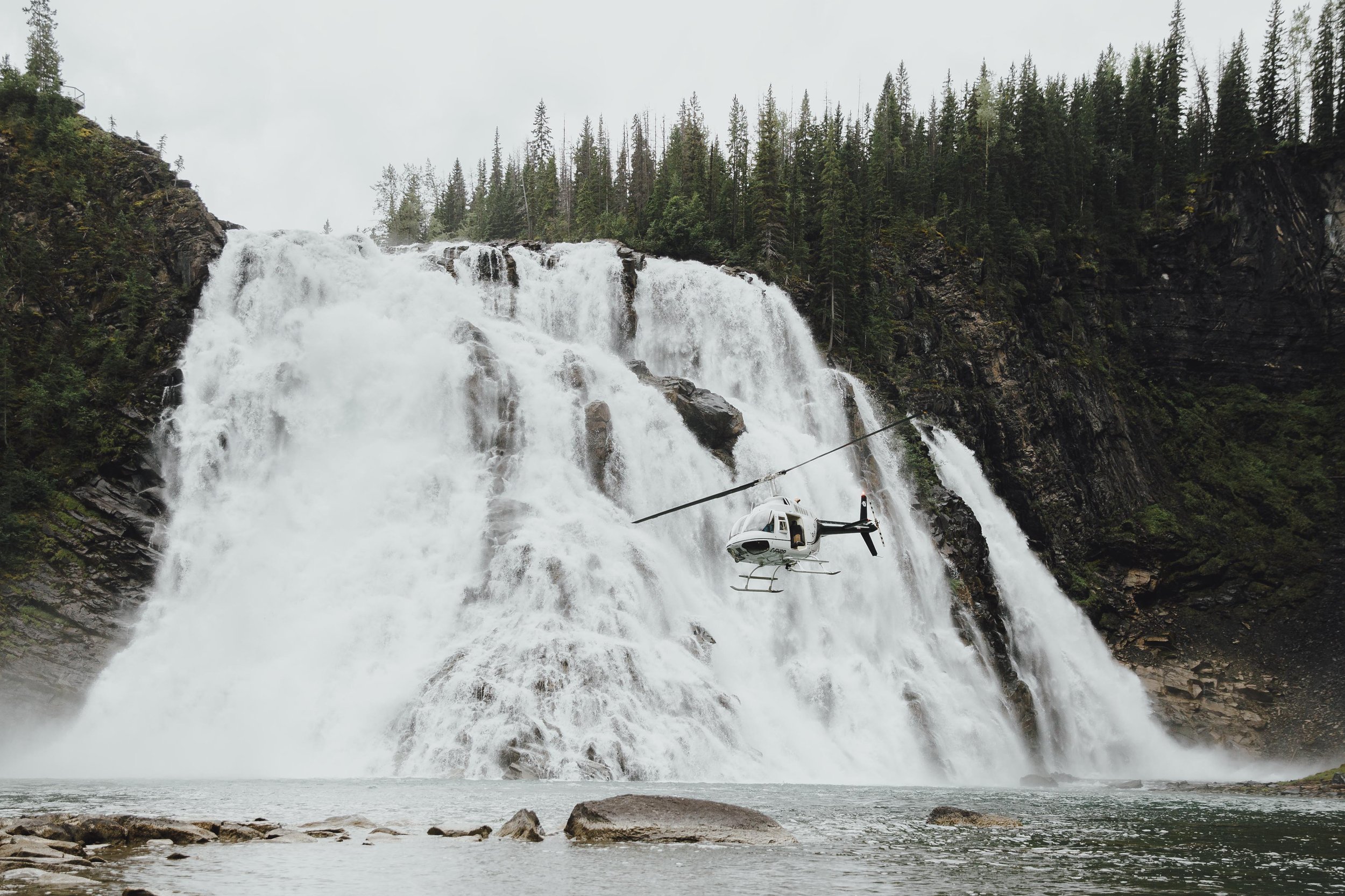
Many visitors opt for jet boat trips up the Murray River to Kinuseo Falls, which are highly sought-after and offer a breathtaking, up-close view of the falls from below. It's important to note that only licensed and permitted tour operators authorized by BC Parks are allowed to provide access to shores within park boundaries. Additionally, helicopter trips are also available as a spectacular means of seeing the falls and the Cascades. Click here for more information on tour operators.
-

History
The first documentation of the falls was on a 1906 map by surveyor R.W. Jones, who was searching for suitable railway passes for the Grand Trunk Pacific Railway. On what he called the South Pine River he indicated: “falls 215 ft”. When the blueprint was traced by the American Geographical Society it was incorrectly copied as “falls 25 ft”. On this intriguing copy, “Pine Lake” is one of the Blue Lakes, and “Contrary River” is Kinuseo Creek. Learn more about the history of Monkman Park here.
-

Trip Link
The route to Kinuseo Falls includes four noteworthy side trips: Nesbitt's Knee, Barbour Falls, the Stone Corral, and Greg Duke Memorial Recreation Area. Visiting these sites is an excellent way to make the most of a day trip to the Murray Valley. However, they also provide a compelling reason to bring your tent or camper and stay for a night or two to explore everything the area has to offer.
-

Camping & Amenities
The Kinuseo Falls campground is generally open on the Wednesday before the May long weekend and remains open as late as weather conditions will allow. Bring your own firewood though - there is none available and it is illegal to cut down wood or forage for wood within the park boundaries.
The picnic area is located two kilometres from the the campsite. At this location, there are picnic tables and pit toilets.
BC Parks accessibility information can be found here.
-

Caution
KINUSEO FALLS IS NOT ACCESSIBLE BY VEHICLE DURING THE WINTER MONTHS.
The Kinuseo Falls Road that leads into Monkman Park is rough to travel although the road has been greatly improved. Visitors can expect to encounter washboard and potholes. Please allow for slow travel.
Some people try to hike down the steep route known as the Chute to the huge pool at the base of the falls. This is not an official or approved BC Parks trail. This route is not recommended for use by BC Parks, due to many hazards which threaten public safety.
DIRECTIONS TO Kinuseo Falls
Follow Hwy 52 E for 14 km south from Tumbler Ridge, then turn right onto the Kinuseo Falls Road. This road is gravel all the way to the falls for another 51 km, with directional signage at intersections. This gravel road can be rough, so please drive with caution. There are some kilometre markers along the road. Once you enter Monkman Provincial Park, the falls are reached by a sign-posted 1 km spur road to the right. There is a large parking area with picnic tables and outhouses before the falls.
thank you to our partners
experience tumbler ridge unfiltered. tag #tumblerridge to show us your adventures.
